
Haines City ZIP Directory Coverage
USPS routing publications group 33844 and 33845 under Haines City. They do not have the same role. ZIP 33844 is the main street-delivery area and extends through central, eastern, and southern rural territory beyond the city limit. ZIP 33845 is associated with Haines City and routed through the 33844 office, but the inspected USPS text did not expressly label its exact delivery class. Verify a specific 33845 address in the live USPS tool instead of assuming it is a normal street-delivery ZIP.
| ZIP Code | Areas Covered | Post Office | Notes |
|---|---|---|---|
| 33844 | Principal Haines City delivery area; central, east, and south rural reach | Haines City Post Office, 1051 State Road 544 E | Crosses the legal city line |
| 33845 | Haines City-associated postal use | Routed through the Haines City 33844 office | Verify delivery type for each address |
Nearby Davenport 33837, Dundee 33838, Lake Hamilton 33851, and Waverly 33877 can touch the broader northeast Polk service and growth area. They should not be called Haines City ZIP codes without checking the parcel and city boundary. The ZIP code directory must follow official postal evidence, not the way a development markets its location.
Verify Haines City ZIP Codes
The USPS ZIP Code Lookup is the authority for the approved delivery city and ZIP attached to a mailing address. Search by city and state when identifying the ZIPs associated with Haines City, then use the complete address mode for a specific home. USPS answers a postal question. It does not decide whether the parcel lies inside city limits or which local office holds a record.
| USPS lookup mode | Input | What it establishes |
|---|---|---|
| City and state | Haines City, Florida | ZIP codes routed under the postal city |
| Address | Street, city, state | Standard delivery address and ZIP |
| ZIP search | Five-digit ZIP | Postal city names associated with that ZIP |
The official USPS city-and-state form provides the right starting point for a Haines City ZIP code directory.
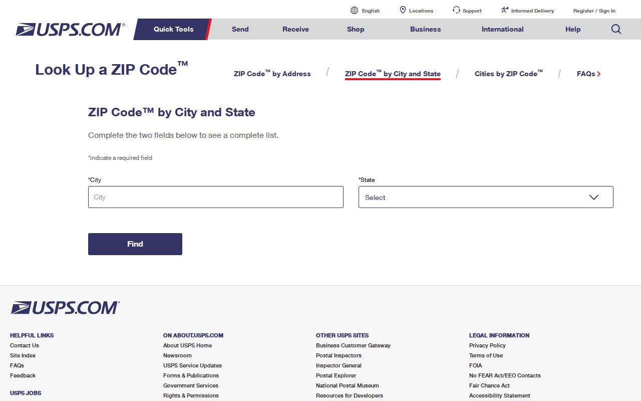
After USPS confirms the mailing label, move to Polk GIS to answer the separate jurisdiction question.
Haines City ZIP Postal Hub
The Haines City Post Office facility page identifies 1051 State Road 544 E, Haines City, FL 33844-9998, and phone 863-422-2901. Retail hours are Monday through Friday, 9 a.m. to 4 p.m., and Saturday, 9 a.m. to noon. The facility offers PO boxes. Hours and services can change, so verify them before a visit.
The source page ties the named facility to the local routing point.
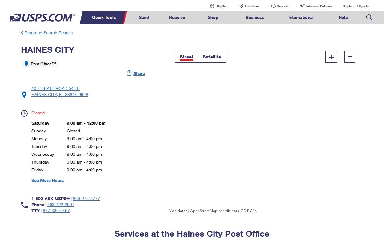
This facility evidence supports the routing relationship, but it does not turn the entire delivery area into incorporated Haines City.
USPS Groups Haines City ZIPs
An official USPS routing publication groups 33844 and 33845 beneath HAINES CITY FL 33844. This is firmer evidence than an unofficial ZIP list, particularly for 33845. Still, routing lists do not describe each road, parcel, delivery mode, or municipal service boundary.
The publication shows how USPS presents the Haines City pair in its own routing material.
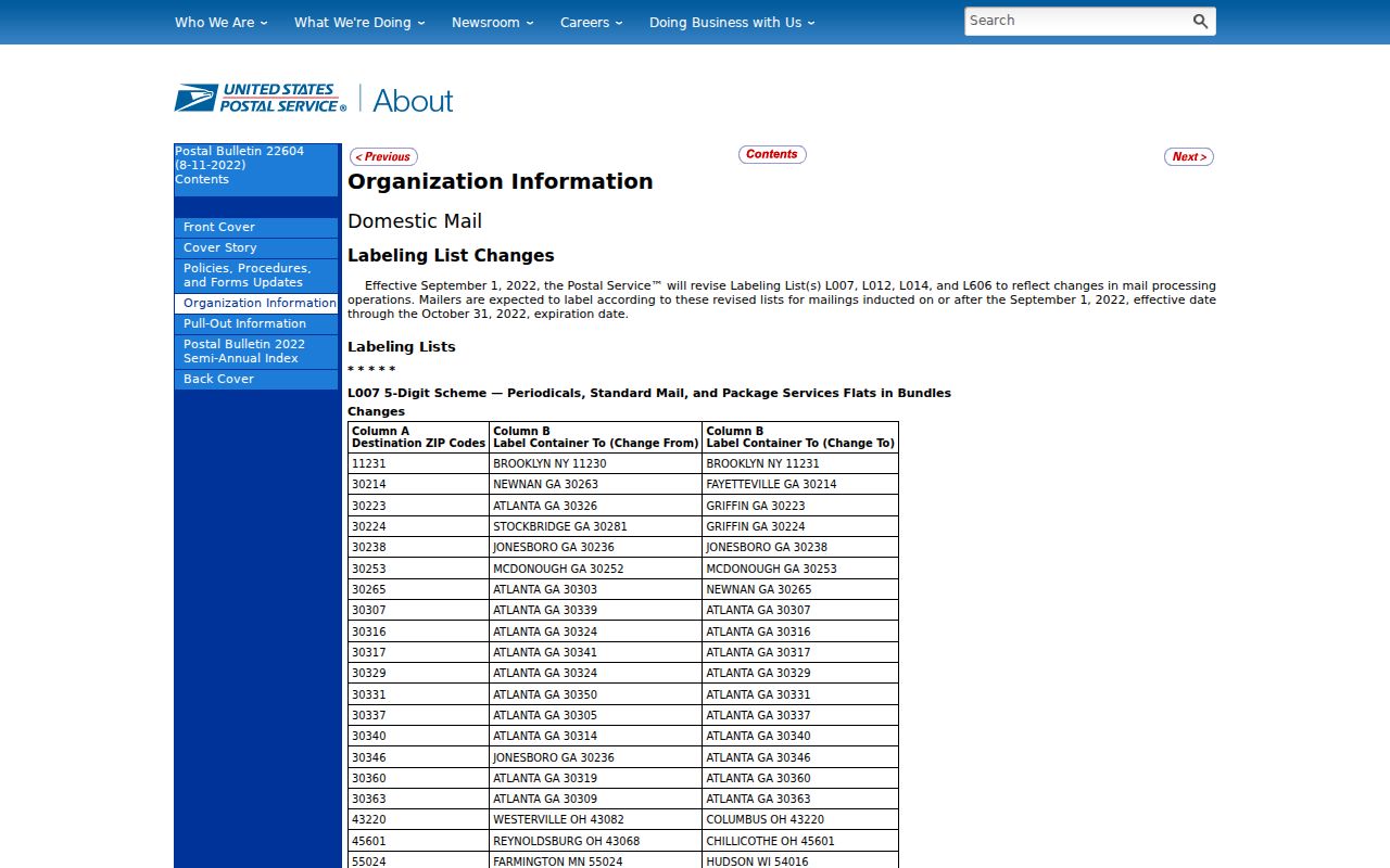
Use it to establish the ZIP association, then use address-level tools for any claim about one resident or property.
Find Haines City Residents by ZIP
A ZIP code directory narrows geography, but the inspected Polk resident-record tools do not offer one universal ZIP filter. Confirm the postal code first. Then translate it into the geographic controls each custodian actually supplies. The Property Appraiser accepts an address or street, GIS can compare mapped layers where available, and the Polk voter request form offers municipality, district, precinct, and community development district criteria. Its exposed form did not show a ZIP field.
- Confirm the complete mailing address in USPS. Save the standardized city and five-digit ZIP.
- Search the street address in the Polk Property Appraiser. Record the situs, mailing address, parcel ID, and municipality shown on the card.
- Open the parcel in Polk GIS. Compare the city boundary and relevant district layers rather than treating the ZIP as a civic border.
- For voter data, request the municipality, precinct, district, or CDD that matches the area. Explain whether Haines City postal addresses outside the municipality belong in the request.
- Move from the ZIP to a named street or parcel, then verify names in the correct official source.
Once the result has narrowed to a street, use the Haines City street directory workflow for the assessor, parcel, deed, permit, and voter chain. This keeps ZIP-level findings from being mistaken for address-level proof.
The 2006 Haines City ZIP Shift
A USPS Postal Bulletin announced a boundary realignment between Haines City 33844 and Lake Alfred 33850, effective January 7, 2006. That change is a practical answer when an older letter, directory, deed worksheet, or family record shows a different ZIP for what appears to be the same place. A changed postal code does not by itself mean the resident moved.
Compare the street address, parcel ID, and legal description on both sides of the date. If those match, treat the ZIP difference as routing evidence and document the bulletin. If the parcel or legal description differs, continue the land-record search. This realignment is one reason a Haines City ZIP code directory must retain dates with every result.
Insider tip. For records near 2006, test both 33844 and 33850 and preserve the parcel ID before deciding that an address changed.
Map Haines City ZIP Geography
The Polk GIS gateway is the place to compare a parcel's location with the legal city and public districts. A ZIP layer may be used when it is present in the live viewer, but do not claim the Property Appraiser offers a ZIP field unless that field is visible. Its documented search modes are owner name, site address, parcel number, and legal or subdivision information.
The GIS gateway represents the map side of a ZIP code directory check.
A mapped parcel can show which government serves an address even when USPS assigns Haines City as the preferred mailing city.
Three Haines City Address Types
Address research becomes clearer when three labels stay separate. The situs address is the physical property location used by the Property Appraiser and GIS. The mailing address is where the owner receives tax or other mail. The legal description identifies land by lot, block, subdivision, or metes and bounds in deeds and plats. A single parcel may show all three in different forms.
USPS standardizes delivery city and ZIP. County E911/GIS and city development review assign or validate physical addressing within their jurisdictions. Annexation can change the governing body without changing the mailing city. Agricultural tracts may also use a mailing address far from the land. Save the legal description when a street or ZIP has shifted because it is the best bridge into older records.
Note: Copy parcel IDs exactly; one missing digit can lead to a different property and a false ZIP or ownership conclusion.
Haines City ZIPs Versus ZCTAs
A Census ZIP Code Tabulation Area, or ZCTA, is a statistical approximation built from census blocks. It is not the live USPS delivery boundary. ZCTA 33844 may help describe population patterns, but its figures should not be presented as an exact count of all people served by the postal ZIP. ZIP 33845 may not behave as a populated ZCTA because its delivery role is different.
Use the Census Haines City QuickFacts for legal-city statistics and a ZCTA product for statistical ZIP geography. Use USPS for delivery, Polk GIS for parcel jurisdiction, and the relevant record custodian for residents. Those are four distinct geographies.
Haines City ZIPs and City Limits
ZIP 33844 does not equal the Haines City boundary. Its rural delivery reaches outside the municipality, while northeast Polk growth can carry a Haines City mailing name on land served by county offices. That mismatch changes where to request permits, code cases, and other local files. City Hall keeps Haines City-created records. Polk County keeps county records for unincorporated parcels, as well as countywide deeds, courts, assessment, and elections records.
Confirm the situs and municipality on the parcel card, then inspect GIS. Do not use USPS city text as proof of legal residence. If the address falls near Davenport, Dundee, Lake Hamilton, Waverly, or the Lake Alfred realignment area, verify both delivery and jurisdiction rather than choosing an office by the ZIP alone.
- ZIP and ZIP+4
- A ZIP identifies a delivery area; the added four digits narrow mail to a smaller segment or destination.
- PO-box ZIP
- A ZIP used chiefly for post-office boxes rather than ordinary street delivery.
- Unique ZIP
- A code assigned to one high-volume organization or destination.
- Carrier route
- A postal delivery path within a ZIP, not a city, precinct, or parcel boundary.
Boundary check. A Haines City mailing label does not prove city residency. Verify the parcel's municipality before relying on a ZIP-based result.