
Walk a Haines City Street
A Haines City street directory search works best as a chain of records, not as one list of occupants. Start with the physical address because the Polk County Property Appraiser can tie it to a parcel and a current owner. Then use Polk GIS to see the lots beside it. Recorded deeds establish ownership transfers, while voter data and old reverse directories can add evidence about residents. Each source answers a different question. Ownership is public, but it does not prove that an owner lives there. A mailing address may point elsewhere, and renters or relatives may never appear on the parcel card.
Keep the parcel ID and legal description as soon as they appear. Those identifiers remain useful when a road label, number, postal city, or ZIP changes. For a full named street, work in short segments and keep a row for each parcel. That avoids skipped lots and makes the street-by-street results easier to verify.
- Search the street number and name in the Polk County Property Appraiser. Save the parcel ID, owner spelling, situs, mailing address, legal description, and last sale.
- Open the parcel in Polk GIS. Click the next parcel on each side and continue along the chosen block or street segment.
- Use the current owner's name and deed reference in Polk Official Records. Confirm every transfer against the same legal description.
- Request a lawful voter extract by Haines City municipality, precinct, or other available geography. Treat it as registration evidence, not a live household list.
- For older occupants, ask the library or History Center about reverse directories, census schedules, newspapers, and yearbooks for the right year.
Search Haines City Streets by Address
The Polk County Property Appraiser search is the strongest first stop for a modern street directory. Its Real Estate mode accepts a name, an address or street name, and a parcel ID. The office advises searching one field at a time. If a full address fails, try the street name with less punctuation or without a suffix. A result may show owners and ownership shares, physical and postal addresses, municipality, neighborhood, subdivision, acreage, sales, exemptions, values, tax districts, and building details.
| Search control | Best use | Reading caution |
|---|---|---|
| Name | Find parcels held by a person or entity | Enter last name first and test variants |
| Address or Street Name | Build a street segment by address | Broaden the text if normalization fails |
| Parcel ID Number | Return to one exact property | Copy the full identifier |
| Legal or subdivision data | Group lots in the same development | Availability can vary in the live interface |
The mailing address is often the best clue to an owner who lives away from the parcel. A matching mailing and situs address, along with a homestead exemption, supports an owner-occupancy theory, but none of those facts proves who is inside the home today.
Browse Haines City Parcels in GIS
The Polk County GIS Viewer adds the shape of the street to the names on parcel cards. Search an address, zoom until parcel lines are clear, click the target polygon, and then inspect adjoining polygons. Layers can show parcels, subdivisions, lots, dimensions, and public districts. This matters on curved roads, cul-de-sacs, large rural tracts, and blocks where the next street address is not the next legal lot.
The map is an aid, not a legal survey. The authoritative property map service supports distance queries and limits a selection to 2,000 features. Interactive tools may expose those capabilities in a different form. Save the parcel ID and layer name, not just a screen image.
The official Polk GIS source shows how a user can move from one property to its surroundings.
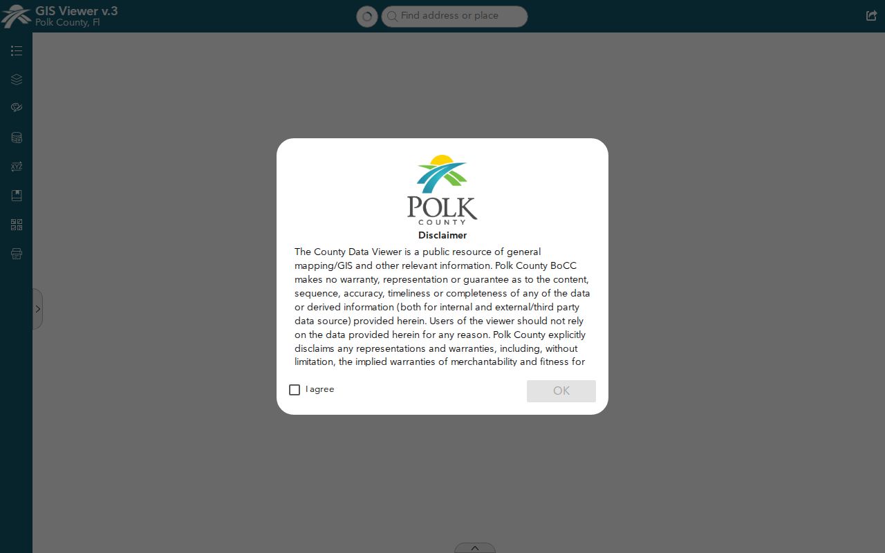
Parcel outlines in the viewer help separate an immediate block study from a broad search based only on a shared road name.
Read Haines City Property Layers
Polk publishes an authoritative Property Appraiser map service inventory. Its parcel, subdivision, lot, dimension, and related layers explain what sits behind a street directory map. A parcel is a tax and land-record unit. A lot is a piece shown on a recorded plat. A subdivision groups platted lots. Those terms can overlap in everyday speech, but they are not interchangeable in a deed search.
The map-service page identifies the available public layers and query rules.
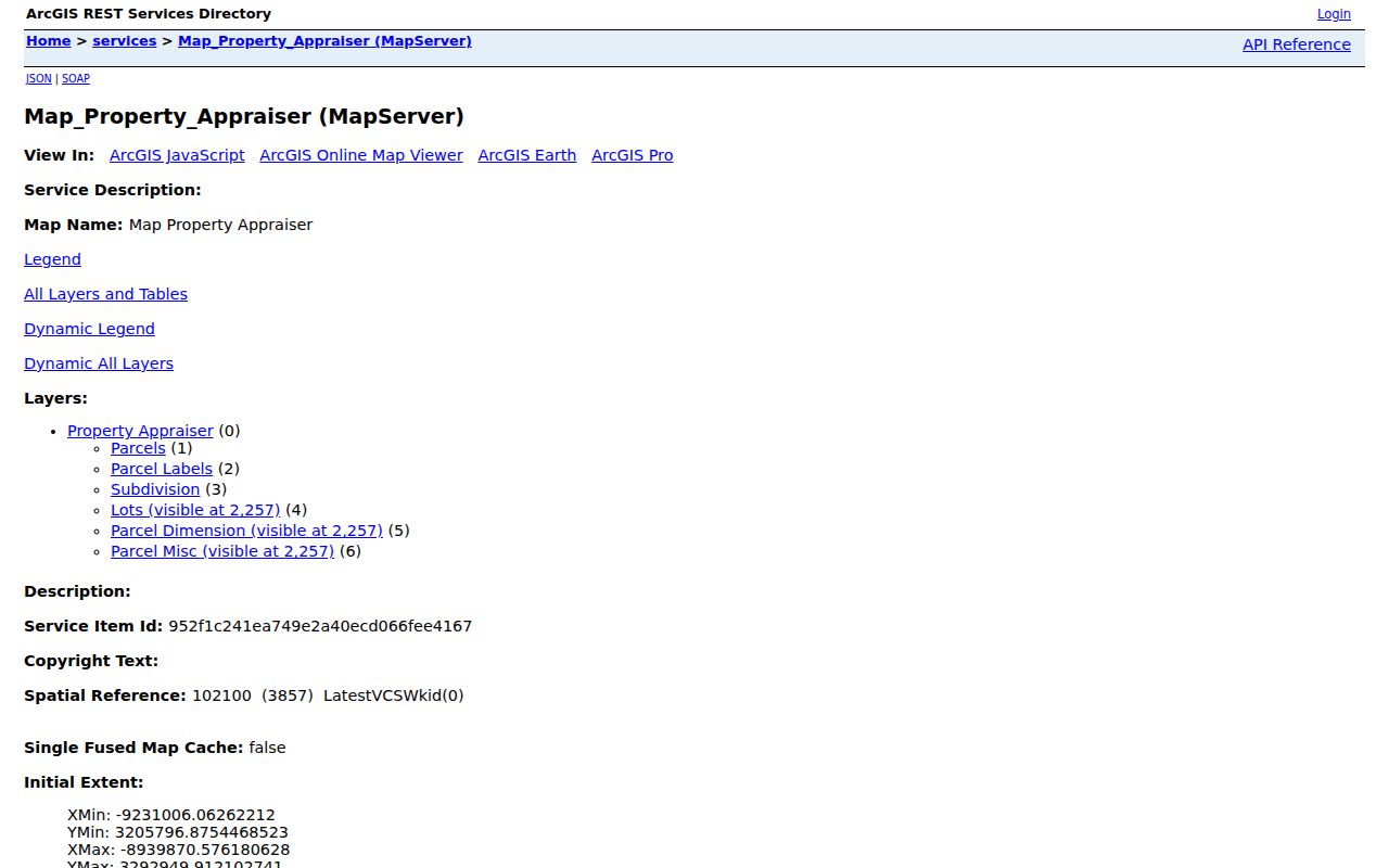
Reading the layer names first helps a researcher choose parcel boundaries rather than a less precise background feature.
- Parcel
- A mapped unit used for assessment and taxation, identified by a parcel number.
- Situs address
- The physical location assigned to the property, distinct from an owner's mailing address.
- Plat
- A recorded map that sets out lots, blocks, roads, and other land features.
- Criss-cross directory
- A directory arranged by street and house number rather than only by resident surname.
Haines City Records by Street
No single Haines City record contains every person at an address. The property roll and GIS lead because both accept a place. Deeds then establish transfers. City permit and code files can name owners, applicants, and contractors. A voter extract can add registered voters within approved geographic filters, subject to exemptions. Older directories and the public census can help with prior households, but exact local directory runs must be confirmed with the holding library.
| Record Set | Keeper | What It Shows | Access |
|---|---|---|---|
| Property roll | Polk Property Appraiser | Owner, mailing and situs addresses, parcel, sales, exemptions | Free online search |
| GIS parcel map | Polk County GIS | Adjacent parcels, lots, subdivisions, dimensions, districts | Free viewer |
| Deeds and liens | Polk Clerk and County Recorder | Transfers, parties, legal descriptions, plats, liens | Free index and most images |
| Voter data | Polk Supervisor of Elections | Public registration fields within selected geography | Request form; protected data excluded |
| Permits and code | Haines City Development Services | Applicant, owner, contractor, work and case details | Portal or chapter 119 request |
The parcel number and legal description are the durable links. The street text is useful for discovery, but an old instrument may contain no modern address. For the property-tax side, the Polk Tax Collector account search accepts owner name, address, or account number and can corroborate a bill or account.
The tax-search screen is a useful second check after the Property Appraiser result.
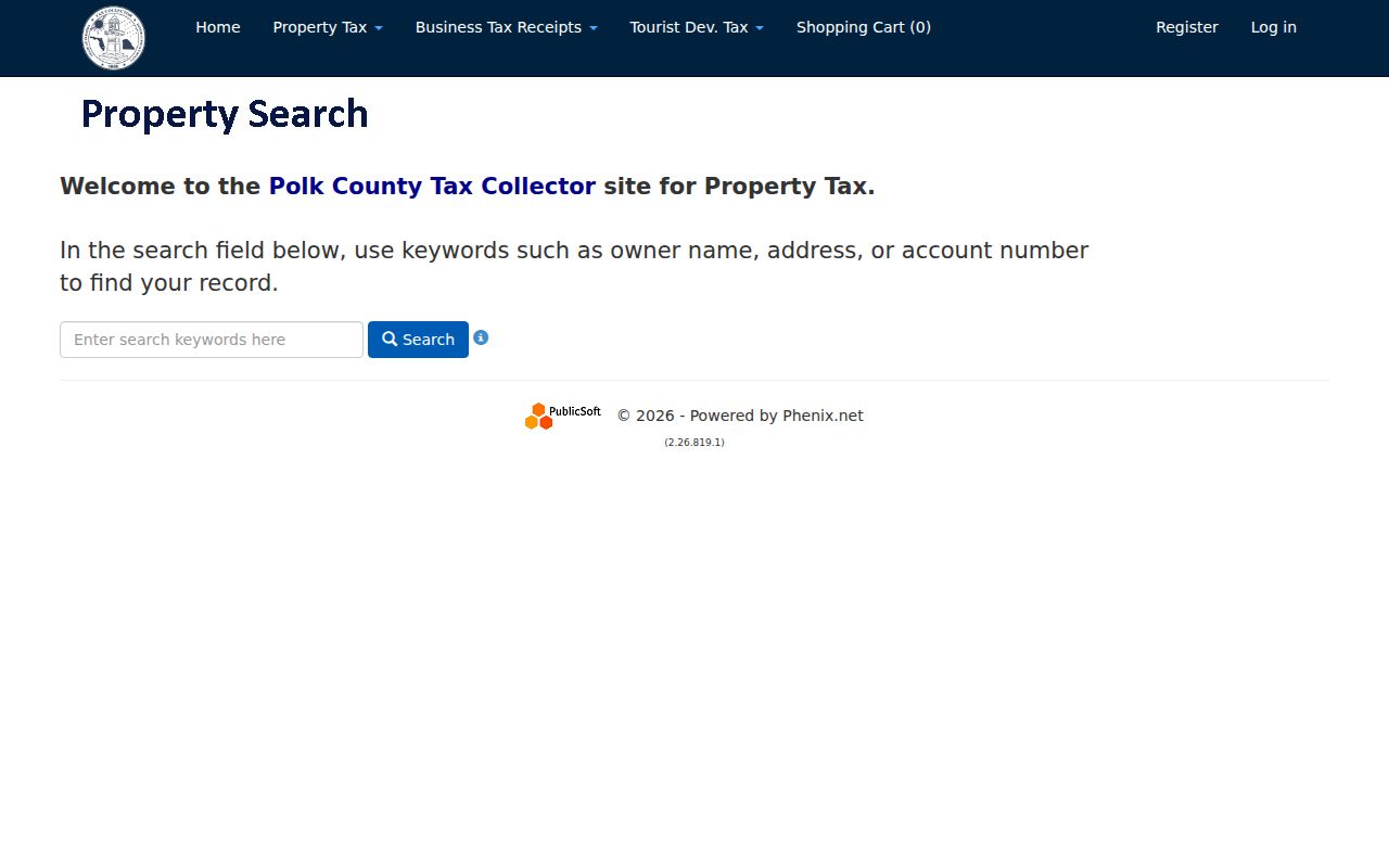
It does not replace the assessor record or the recorded deed, so resolve conflicts through the custodian source.
Trace Haines City Deeds Backward
Polk County's land record span is unusually deep. The Clerk's modern Official Records cover 1957 to the present, and Historical Deeds cover 1861 through 1956. Start with the current parcel card and acquisition deed. Read the grantor, meaning the seller, then search that person as an earlier grantee, meaning buyer. Confirm the legal description each time. A shared surname is not enough.
The Official Records viewer supports party, document type, date range, file number, and book/page searches. Results may show parties, document and recording dates, instrument number, book/page, consideration, parcel or legal references, related instruments, and an image when public. If a linked image is restricted or absent, Clerk Indexing can be reached at 863-534-4516.
Insider tip. Search a deed chain by legal description and book/page, not by a modern street address that may never appear in an older instrument.
Haines City Permits by Address
The Haines City iWorQ permit search can connect an address to a project, applicant, owner, or contractor. Search choices include permit number, permit date, primary contractor, site address, site city and ZIP, applicant name, and permit-issued date. Results show review and application statuses, site address, project name, and view controls. These records date work, not occupancy.
The public permit interface makes its address-centered fields visible.
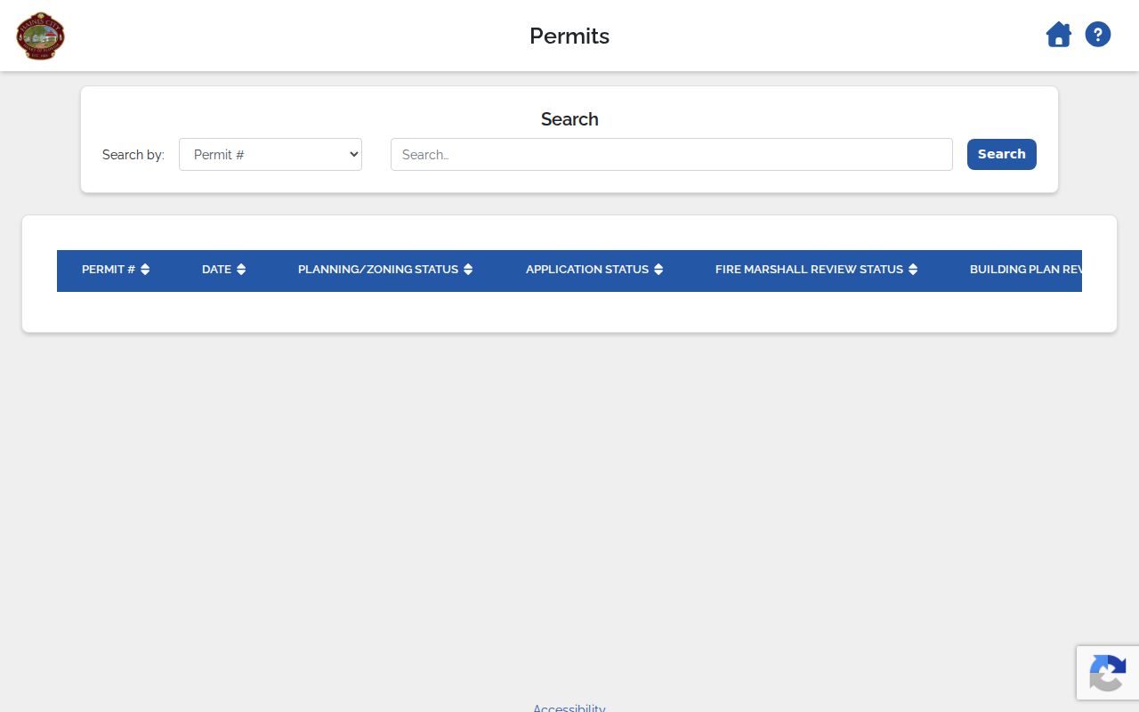
When the summary is not enough, request the underlying application and inspection history from Development Services at 863-419-3229 or through the city's public-record route.
Haines City Voters by Geography
The Polk voter data request form offers municipality, district, precinct, community development district, party, status, and voting-history criteria. For a municipal street study, choose Haines City and state whether nearby unincorporated parcels with a Haines City postal address should be handled separately. The office says requests are reviewed in one to two business days.
Public fields may include a name, residence or mailing address, status, registration date, precinct and districts, and election participation. Ballot choices are never disclosed. Florida also closes Social Security and driver-ID numbers, registration source, minors' preregistration data, signature copies, and protected addresses. Registration shows declared legal residence at the time of registration or update. It does not prove current occupancy of each unit.
Read Old Haines City Streets
Reverse or criss-cross directories arrange entries by street and house number, which makes them ideal for past street directory work. Exact Haines City title and year runs were not verified. Call the Haines City Public Library at 111 N 6th Street, then ask the Polk History Center about Polk directories, telephone books, newspapers, yearbooks, and vertical files for a named road and year. The library also lists Ancestry and ProQuest African American Heritage on its computers.
When an address changes, carry the parcel legal description into plats, deeds, maps, and directory volumes. No authoritative citywide renaming or renumbering chronology was found. Haines City's earlier name, Clay Cut, is relevant before the 1885 renaming, while records before incorporation in 1914 may be filed under Polk County or rural geography. The Haines City city directories collection page covers the historical shelf in more depth.
Note: Record the directory title, publisher, year, abbreviation key, and page so another researcher can reproduce the street result.
Haines City Mailing Is Not Situs
A Haines City mailing city is not proof that the parcel lies within municipal limits. ZIP 33844 reaches central, eastern, and southern rural delivery areas beyond the city line. Growth toward Davenport and Poinciana can also produce Haines City mailing labels for county-served land. Confirm the municipality on the Property Appraiser card and in GIS before choosing the city or county custodian.
Keep three address types separate. Situs is the physical location. Mailing is where the owner receives notices. The legal description identifies the land in deeds and plats. Annexation may change the government that serves a parcel without changing its postal label. Major roads may also index under variants such as US 27, US 17/92, or State Road 544, so try numbered and named forms.
Note: A homestead exemption supports an owner-occupancy finding, but it is not final proof that the owner lives at the situs today.
Limits of Haines City Street Records
A Haines City street directory assembled from public sources remains incomplete. Property cards name owners, not all occupants. Plats define land, not households. Permits name people tied to work, while deeds establish ownership transfers. Voter data covers registered voters who are not exempt, not every adult or child at an address. Utility customer and driver-address data should not be treated as an open directory.
Protected addresses may be withheld through Florida's Address Confidentiality Program or specific chapter 119 exemptions. Indexes can lag, contain spelling errors, or connect two people with the same name. Phrase a failed search as "not located in the inspected index," never as proof that no record exists. Verify key facts with the Property Appraiser, Clerk, Elections Office, or city custodian.
Lawful use. Use Haines City address records only for lawful personal research. Never use a street search to stalk, harass, intimidate, or harm anyone.